Western Europe - available Maps:
- French Republic (FRA, Northeast) - 1517 MB
- French Republic (FRA, Northwest) - 972 MB
- French Republic (FRA, Southeast) - 1303 MB
- French Republic (FRA, Southwest) - 954 MB
- Principality of Andorra (AND) - 4 MB
- Great Britain (GBR, Island) - 1288 MB
- Isle of Man (IMN) - 4 MB
- Ireland (IRL, Island) - 288 MB
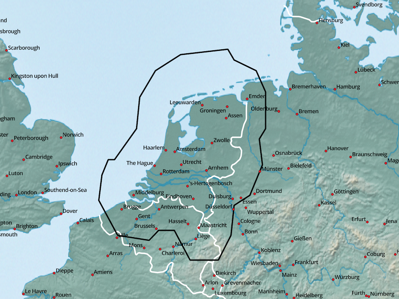
- Netherlands (NLD) - 1154 MB
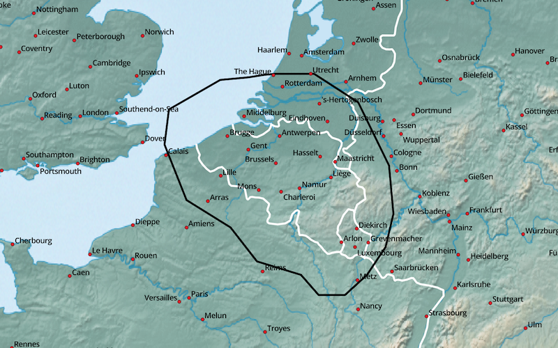
- Kingdom of Belgium (BEL) - 958 MB
Tips concerning download:
- click on the Netbook Icon in the PC browser: the map will be downloaded onto your personal computer
- click on the Locus Map Icon in the Android browser: map+design will be downloaded into Locus Map
- click on the OruxMaps Icon in the Android browser: the map will be downloaded into OruxMaps
French Republic (FRA, Northeast):
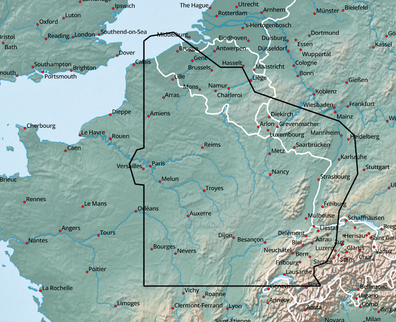
| FRA+NORTHEAST | 1517 MB |
|
|
|
French Republic (FRA, Northwest):
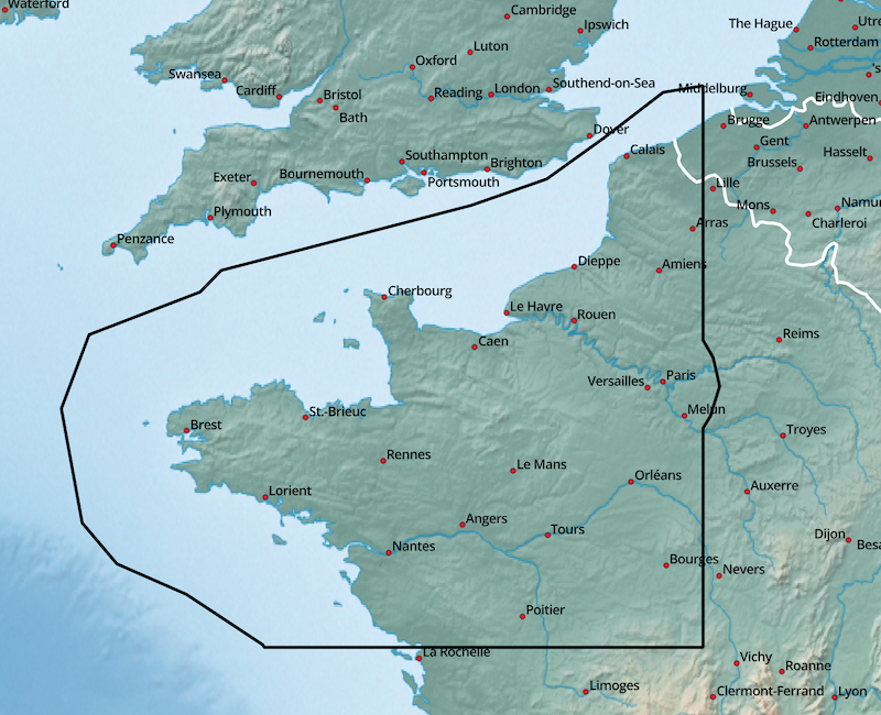
| FRA+NORTHWEST | 972 MB |
|
|
|
French Republic (FRA, Southeast):
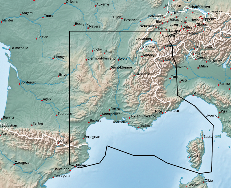
| FRA+SOUTHEAST | 1303 MB |
|
|
|
French Republic (FRA, Southwest):
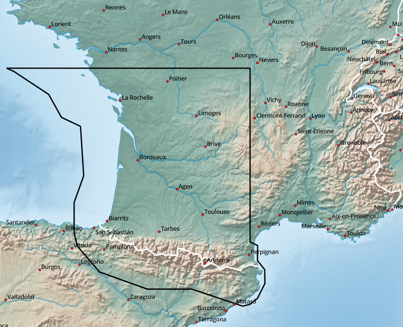
| FRA+SOUTHWEST | 954 MB |
|
|
|
Principality of Andorra (AND):
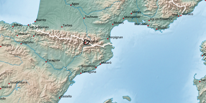
| AND | 4 MB |
|
|
|
Great Britain (GBR, Island):
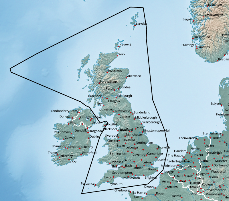
| GBR | 1288 MB |
|
|
|
Isle of Man (IMN):
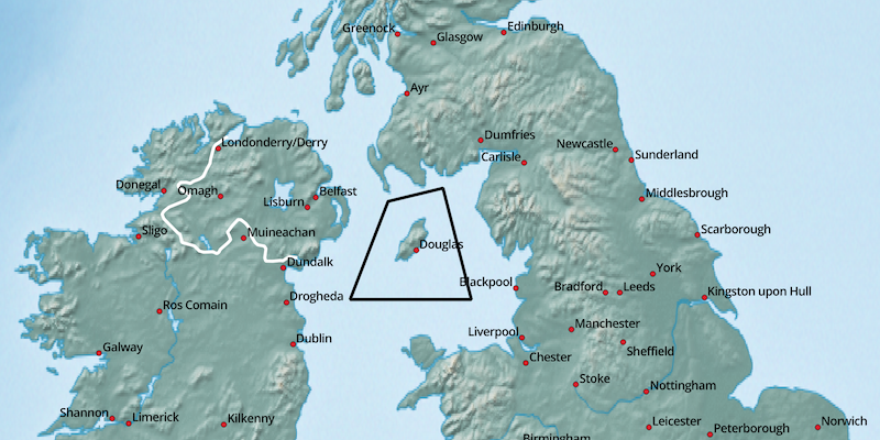
| IMN | 4 MB |
|
|
|
Republic of Ireland (IRL, Island):
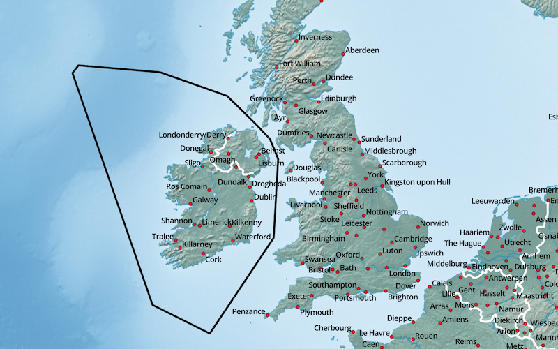
| IRL | 288 MB |
|
|
|
Netherlands (NLD):
| NLD+ | 1154 MB |
|
|
|
Kingdom of Belgium (BEL):
| BEL+ | 958 MB |
|
|
|